Exposure#
The concept of exposure relates to the receptors of risk, which are the physical, human and production capitals that could be loss due to natural hazards.
See also
The situation of people, infrastructure, housing, production capacities and other tangible human assets located in hazard-prone areas (UNDRR 2019).
Measures of exposure can include the number of people or types of assets in an area. These can be combined with the specific vulnerability and capacity of the exposed elements to any particular hazard to estimate the quantitative risks associated with that hazard in the area of interest.
Exposure data can include a variety of indicators that are used to represent the value exposed to a disaster impact. In this sense, any data representing a potential receptor of risk can be considered exposure data.
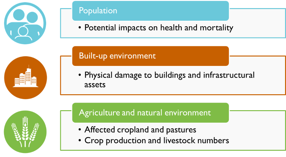
In our tools, the standard exposure categories include:

Fig. 1 Example of exposure indicators considered in CCDR risk screening tool.#
In our tools, exposure datasets are collected in form of geospatial raster representing presence (1/0) or amount (count, density) for the each category. There are of course alternative options for exposure representation, including polygons representing building-level footprints (perimeter, area), or lines representing distribution infrastructures.
For a selection of global datasets, see Exposure Datasets.
